Stone That Keeps Time: How Builders Tracked the Sun's Path
A stone marker fixes a sightline for centuries. At Chaco Canyon, slabs, walls and spirals turned sunlight into a calendar that a whole community could read.
Key takeaways
- Stone fixes a sightline, so solar markers stay accurate from one generation to the next.
- The Sun Dagger marks solstices and equinoxes; its lunar role is still a hypothesis.
- Pueblo Bonito's cardinal walls are well supported; Casa Rinconada's solstice window is debated.
A person can watch the sunrise for a lifetime and still forget exactly where it stood last midwinter. A stone does not forget. Once a wall, a slab or a carved mark is set in place, it fixes a line of sight that stays the same for centuries. That simple property made stone the natural material for keeping solar time, and nowhere in North America shows it better than Chaco Canyon in northwestern New Mexico.
Between roughly 850 and 1150 CE, Ancestral Puebloans raised multi-storey great houses, great kivas and long roads in and around the canyon. Some of that stonework appears to record the Sun's yearly path. This article looks at the methods rather than the monuments: what a stone can do as an instrument, and how to tell a deliberate alignment from a lucky one.
What can stone do that a human observer cannot?
An observer brings judgement and memory. Stone brings permanence. A fixed sightline removes the guesswork of standing in slightly different places each year, which matters because a small shift of position changes where the Sun appears on the horizon. A carved or built marker also makes knowledge shareable: a whole community can see light touch the same spot on the same day.
Stone instruments work in four broad ways. Each relies on the same fact, that the Sun's path across the sky changes in a regular cycle through the year.
| Method | How it works | Chaco example | Maya example |
|---|---|---|---|
| Light through a gap | A beam falls on a marked surface on a given day | Sun Dagger, Fajada Butte | Equinox sunrise through a door at Dzibilchaltún |
| Wall alignment | A wall or axis points to a sunrise, sunset or cardinal direction | Pueblo Bonito's north–south and east–west walls | Orientations of Chichén Itzá buildings |
| Horizon marker | A fixed viewpoint is paired with a landmark on the skyline | Mesas and buttes seen from great houses | E-Group platforms, such as Uaxactun in Guatemala |
| Shadow edge | A shadow's shape or position changes through the year | Shadows on the Fajada spiral | Light triangles on El Castillo's stairway |
How did the Sun Dagger turn a cliff into a calendar?
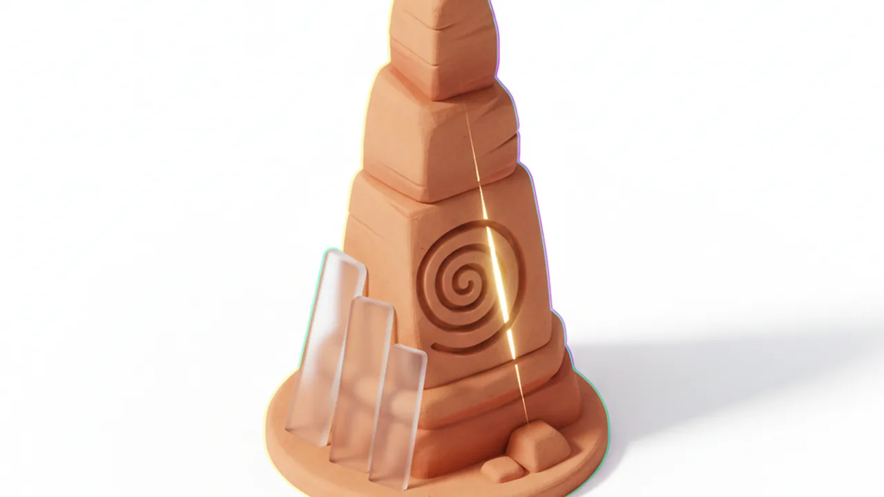
Near the top of Fajada Butte, a steep landmark at the south entrance of the canyon, three sandstone slabs stand against the rock face. Behind them, a spiral has been pecked into the cliff. In 1977 the artist Anna Sofaer, recording rock art on the butte, saw a thin blade of sunlight pass between the slabs and cut through the centre of the spiral near midday at the summer solstice.
Follow-up observations described a matching pattern at other turning points. At the winter solstice two blades of light frame the spiral's edges. Around the equinoxes a smaller blade crosses a second, smaller spiral nearby. The result is a light-and-shadow calendar that marks the year's key moments without any horizon at all.
Researchers have also proposed that the shadow cast across the spiral by the rising Moon tracks the 18.6-year cycle of lunar standstills. This lunar reading is a hypothesis, discussed and challenged in the literature, and it should be presented that way. The site itself is closed to visitors to protect it, and reports indicate the slabs have shifted since their discovery, so the effect is now best studied through recordings and models.
A stone marker turns a private observation into a public fact that anyone can see on the right day.
What do the walls of Pueblo Bonito tell us?
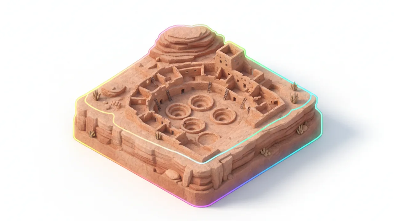
Pueblo Bonito, the largest of Chaco's great houses, rises in a D-shape against the north wall of the canyon. Two of its long walls stand out. One runs north to south through the plaza, dividing the building into halves. Another, along the western part of the southern front, runs close to east and west. From that wall, an observer would see the Sun rise and set along the line of the wall near the equinoxes.
Cardinal orientation appears elsewhere in the Chacoan world. The so-called Great North Road runs out of the canyon close to true north for many kilometres, and several great houses share related orientations. Many scholars read this as part of a wider cosmological plan that tied buildings to the directions and the Sun, though the exact intentions of the builders remain open to interpretation. Our article on Chaco Canyon's sun alignments follows these lines in more detail.
Why is Casa Rinconada read with caution?
Casa Rinconada is a great kiva on the south side of the canyon, a large round ceremonial chamber with doorways aligned close to north and south. Its layout fits the cardinal pattern seen at Pueblo Bonito. Visitors are often told that a small opening in the northeast wall admits light from the summer solstice sunrise onto a niche inside.
That claim needs care. Parts of the kiva wall were rebuilt during stabilisation in the twentieth century, and researchers disagree about whether the opening and the light effect are original. The cardinal layout is well supported; the solstice window is better described as possible. Stating that difference clearly is part of reading stone honestly.
The same caution applies across the Southwest. A wall can only point in so many directions, and some will match a solar event by chance. Archaeoastronomers look for patterns that repeat across several buildings, for features that make no sense without the Sun, and for support from Pueblo oral tradition.
How did shadows work differently in the Maya tropics?
Chaco lies at about 36 degrees north, so the noon Sun never passes directly overhead. In the tropics it does, twice a year, on the days of zenith passage. At noon on those days a vertical post casts almost no shadow. Builders in Mesoamerica used this. At Xochicalco in central Mexico, well outside the Yucatán, a vertical shaft carved into the hillside lets sunlight fall straight down into a chamber around the zenith passage days.
In the northern Yucatán, Maya builders favoured doorways and façades. At Dzibilchaltún the equinox Sun rises through the door of the Temple of the Seven Dolls. At Chichén Itzá, light and shadow form a moving serpent on El Castillo's northern stairs around the equinoxes. You can compare these effects with Chaco's in our interactive Yucatán viewer.
Stone gave ancient astronomers a memory longer than any single life. Our free illustrated field guides include simple diagrams of these methods for use in class or on site.
Frequently asked questions
Can visitors see the Sun Dagger today?
No. The Fajada Butte site is closed to the public to protect it, and the slabs are reported to have shifted. The effect is now studied through photographs, recordings and models.
Was Pueblo Bonito built as an observatory?
It was a great house with many roles. Some of its walls are aligned to the cardinal directions and the equinox Sun, which suggests solar planning was one part of its design.
Why does Chaco have no zenith passage markers?
At about 36 degrees north, the Sun never stands directly overhead at Chaco. Zenith passage happens only between the tropics, which is why it matters in Mesoamerica.