How to Calculate Sunrise Azimuth for Any Ancient Site
The direction of sunrise follows from three numbers: latitude, the Sun's declination and the height of the horizon. Here is the math, the corrections, and how sun apps do it.
Key takeaways
- On a flat horizon, sunrise azimuth follows from one formula: cos A = sin δ / cos φ, where δ is the Sun's declination and φ is your latitude.
- Refraction and a raised skyline then shift the answer by roughly half a degree to three degrees, which is more than the width of the Sun.
- At Chaco Canyon the June solstice Sun rises near 60° azimuth; at Chichén Itzá, near 64.5°.
Sunrise azimuth is the compass bearing of the point where the Sun first appears, measured clockwise from true north. To calculate it, divide the sine of the Sun's declination by the cosine of your latitude and take the inverse cosine. Then correct for atmospheric refraction and for the height of the real skyline. A sun-position app runs the same steps; it just does them faster and hides them from you.
Those apps now sit behind most amateur claims about ancient alignments. A phone takes latitude from GPS, declination from a published solar algorithm and direction from its magnetometer, and every one of those steps can add error. The sensor side is the hardest part to get right, and it is routine work for teams that build Android apps for field use. This guide stays with the astronomy, so you can check any app's answer by hand.
Archaeoastronomers use the same method before they ask whether an alignment was intended. For that second question, see how researchers test an ancient sun alignment.
What is sunrise azimuth, and why does it change through the year?
On the azimuth scale, 0° is true north, 90° east, 180° south and 270° west, so a sunrise azimuth below 90° means the Sun rises north of east.
The rising point moves because Earth's axis is tilted about 23.44° to its orbit. That tilt makes the Sun's declination, its angle north or south of the celestial equator, swing from about +23.44° at the June solstice to about −23.44° at the December solstice. Near the equinoxes declination is close to zero, and the Sun rises almost due east from anywhere on Earth.
Between the solstices the sunrise point walks north and south along the horizon. The farther you are from the equator, the wider that walk becomes:
| Latitude | June solstice sunrise | December solstice sunrise | Yearly swing |
|---|---|---|---|
| 0° (equator) | 66.6° | 113.4° | 46.9° |
| 20.68° N (Chichén Itzá) | 64.5° | 114.8° | 50.3° |
| 30° N | 62.1° | 116.8° | 54.7° |
| 36.06° N (Chaco Canyon) | 59.8° | 118.8° | 59.0° |
| 45° N | 54.8° | 123.2° | 68.5° |
Values assume a flat, sea-level horizon with standard refraction and today's axial tilt. They are our own calculations from the formulas below.
How do you calculate sunrise azimuth step by step?
You need three inputs: latitude, the Sun's declination on the date, and the altitude of the horizon in the direction of sunrise. The procedure takes five steps:
- Find your latitude (φ) in decimal degrees, positive in the northern hemisphere. A map or GPS reading is enough. Moving 0.1° in latitude changes the Chaco solstice result by less than 0.05°.
- Find the Sun's declination (δ) for the date. At the solstices it equals the axial tilt, plus or minus. For other days, a rough estimate is δ ≈ −23.44° × cos[360°/365 × (N + 10)], where N is the day of the year. For anything you plan to publish, take δ from an ephemeris or the NOAA Solar Calculator.
- Apply the flat-horizon formula. cos A = sin δ / cos φ. The inverse cosine gives the sunrise azimuth A in degrees east of north. Sunset is the mirror image: 360° − A.
- Correct for refraction and the Sun's disc. By convention, sunrise is the moment the upper edge of the Sun clears the horizon. Refraction lifts the image about 34′ and the Sun's radius adds 16′, so the Sun's center is at an altitude of about −0.833°. Use the general formula: cos A = (sin δ − sin φ sin h) / (cos φ cos h), with h = −0.833°.
- Correct for the real horizon. If a mesa, ridge or building raises the skyline, the Sun appears later and higher. Set h to the skyline altitude, minus refraction at that altitude, minus about 0.27° for the Sun's radius, and recompute.
How much do refraction and the horizon really change the answer?
Both corrections are bigger than the Sun itself. The solar disc is only about 0.5° across, while refraction alone moves the Chaco solstice sunrise by about 0.7°.
Refraction also varies: cold, dense morning air bends light more than the textbook value, and an unusual temperature profile near the ground can move the Sun's image noticeably.
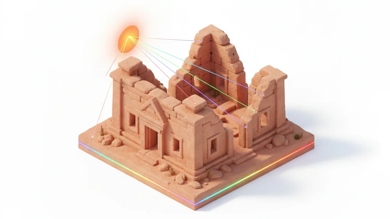
The skyline matters even more at canyon sites. In the Chaco example, a horizon 2° above level pushes the June sunrise about 1.9° south of the flat-horizon figure. That is nearly four solar diameters. An alignment claimed to be "accurate within a degree" can be created or erased just by ignoring the local skyline. Our site-by-site guide to Chaco's solar alignments shows how much the mesas frame what an observer sees.
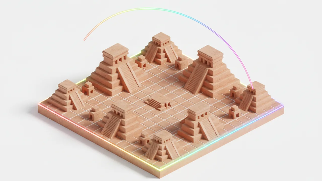
The northern Yucatán is the opposite case. The plain is nearly flat, so the natural horizon sits close to 0°. Trees and buildings become the effective skyline instead, which is one reason Maya builders created their own markers, as described in how the Maya oriented cities and temples.
Has the sunrise point moved since Chaco and Chichén Itzá were built?
Yes, slightly. Earth's axial tilt shrinks very slowly, by roughly 0.013° per century. Around 1000 CE it was close to 23.57°, compared with about 23.44° today. That puts the ancient June sunrise a little farther north:
| Site | June sunrise today | June sunrise about 1000 CE | Shift |
|---|---|---|---|
| Chaco Canyon (36.06° N) | 59.8° | 59.65° | about 0.2° north |
| Chichén Itzá (20.68° N) | 64.5° | 64.35° | about 0.15° north |
The change is smaller than the Sun's radius, so it rarely decides whether an alignment works. It still belongs in any careful calculation.
A second trap is the calendar: dates before 1582 are usually written in the Julian calendar, so "June 21" in a medieval date is not the solstice. Work from the astronomical event, not the calendar label.
How do sun-position apps calculate the same thing?
Sun-position apps follow the same pipeline, with more precise inputs:
- Convert the date and time to a Julian day number.
- Compute the Sun's coordinates with a published algorithm.
- Correct for refraction, and sometimes for terrain.
Many follow Jean Meeus's Astronomical Algorithms, as NOAA's calculator does. The NREL Solar Position Algorithm states an uncertainty of ±0.0003° for years from −2000 to 6000, far finer than any field measurement.
The astronomy is the easy part. The common weak points are elsewhere:
- Flat horizon by default. Many apps assume a level horizon unless they load a terrain model. Planning tools for photographers often intersect the Sun's path with elevation data, which is what canyon sites need.
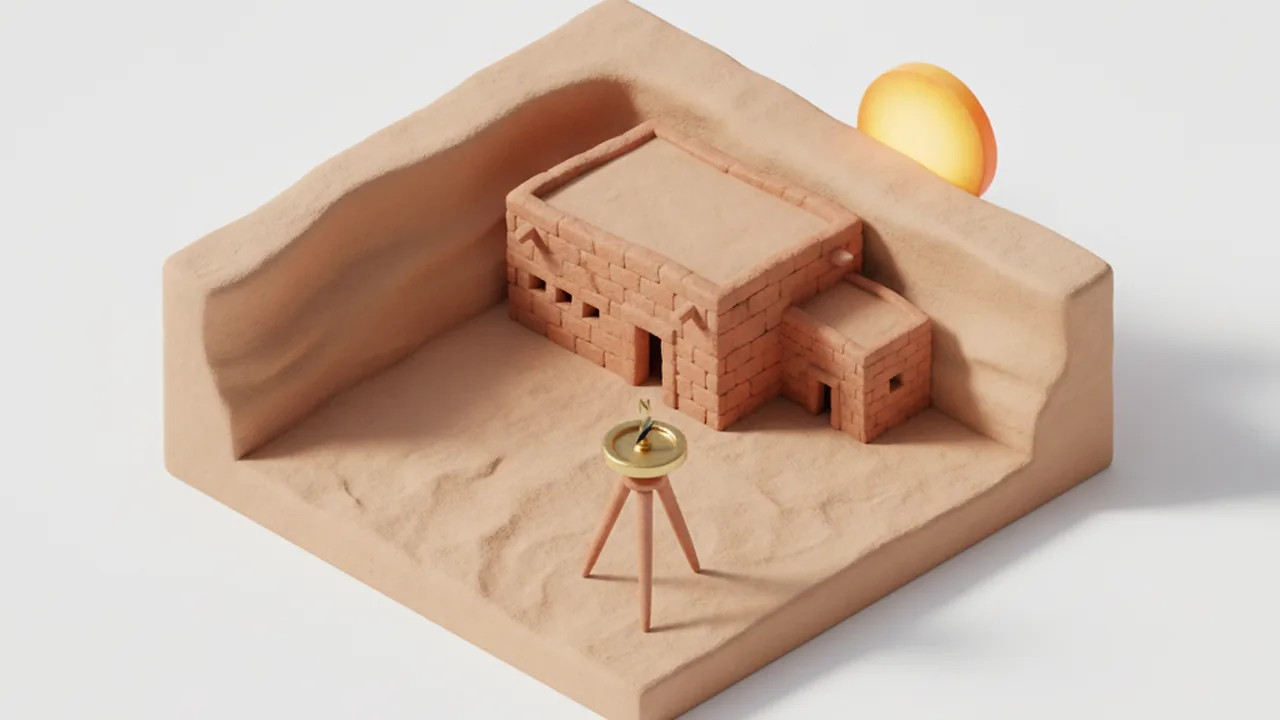
- Magnetic versus true north. A phone magnetometer points to magnetic north, so the app must add the local magnetic declination. On Android, the GeomagneticField class supplies that value from the World Magnetic Model.
- Local interference. Cars, rebar, metal railings and some phone cases can bend the compass reading by several degrees. That error is larger than all the astronomical corrections combined.
| Error source | Typical size | How to fix it |
|---|---|---|
| Ignoring refraction | About 0.5° to 0.7° | Use h = −0.833° for sunrise |
| Ignoring a raised horizon | 1° to 3° at canyon sites | Measure skyline altitude along the bearing |
| Uncorrected magnetic compass | Several degrees | Add declination from the NOAA magnetic field calculator |
| Magnetic interference | Several degrees, unpredictable | Step away from metal; check against a sun or map bearing |
| Today's tilt for an ancient date | 0.1° to 0.2° | Use the obliquity of the period |
| Latitude off by 0.1° | Under 0.05° | Rarely matters |
How can you check an alignment claim yourself?
You can test most published alignment claims with a calculator, a map and some patience:
- Take the site's coordinates and the sightline's bearing from a published survey, and confirm the bearing is relative to true north.
- Compute the flat-horizon sunrise azimuth for the event in question: solstice, equinox or a specific date.
- Find the skyline altitude along that bearing with a clinometer on site or a terrain profile from elevation data.
- Recompute with that altitude, using the obliquity of the building's period.
- Compare the gap between the sightline and the Sun with the Sun's width (0.5°) and with the survey's stated error.
- Only then turn to the cultural evidence: published research and the knowledge that Pueblo and Maya communities share about their own traditions.
If you would rather watch than calculate, open the Chaco viewer or the Yucatán viewer, pick a date and see where the Sun meets a real horizon. Visiting in person? Respect closures: Fajada Butte at Chaco is closed to visitors to protect the site, and Pueblo communities ask that places still in ceremonial use be treated as such.
Frequently asked questions
What is the formula for sunrise azimuth?
On a flat horizon, cos A = sin δ / cos φ, where δ is the Sun's declination and φ is latitude. For real conditions use cos A = (sin δ − sin φ sin h) / (cos φ cos h), with h = −0.833° for standard refraction.
Does the Sun rise exactly due east?
Only near the equinoxes. Even then, refraction makes the visible sunrise appear slightly north of east in the northern hemisphere, about 89.4° at Chaco Canyon.
Why do sun apps give slightly different sunrise directions?
They differ in refraction model, whether they include terrain, the observer's elevation, and how they handle magnetic declination. The core solar algorithms usually agree to a tiny fraction of a degree.
Has the solstice sunrise moved since ancient times?
Slightly. Earth's tilt was about 23.57° around 1000 CE, so the June sunrise at Chaco Canyon was roughly 0.2° farther north than today, less than the Sun's radius.
Can I trust my phone compass for an alignment check?
Only with care. Correct for magnetic declination, stand away from metal and calibrate first. For serious work, take true north from a map, survey data or a sun sighting instead.