Maya City Minanbé Was Called Sakil, New Glyph Reading Says
Six months after archaeologists found it in the forests of Campeche, the site they nicknamed "there is no road" has its own name back, read from carvings recorded as 3D models.
Key takeaways
- INAH reported on 9 November 2026 that Minanbé, found in May north of the Calakmul Biosphere Reserve, was probably called Sakil, "whiteness".
- Stela 7 names a ruler, Suutz' ("Bat"); a carved step at Ocomtún, 40 km away, shows a bound captive from Sakil.
- Several signs could only be recognised on photogrammetric 3D models of the worn stone.
The Maya settlement that archaeologists named Minanbé, "there is no road", was most likely called Sakil by the people who built it. Mexico's National Institute of Anthropology and History (INAH) announced the reading on 9 November 2026 in bulletin 524. Sakil is a Maya word for whiteness. The site, about 15 hectares, was found intact in May 2026 north of the Calakmul Biosphere Reserve in Campeche.
The reading comes from UNAM epigrapher Octavio Esparza Olguín, a member of the project "Expanding the Archaeological Panorama of the Central Maya Lowlands" led by Ivan Šprajc of the Research Centre of the Slovenian Academy of Sciences and Arts. He presented the results at a conference held by the INAH centre in Campeche. Infobae and other Mexican outlets reported the announcement the same day.
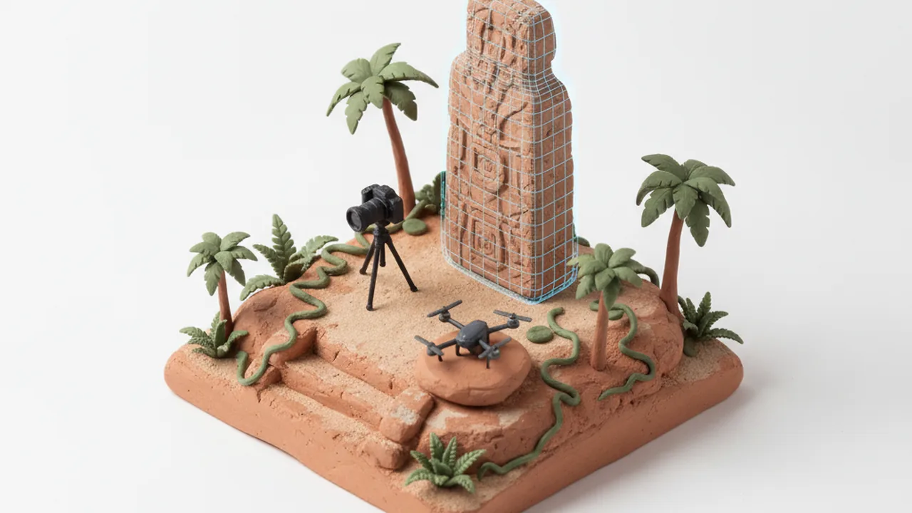
Part of the reading was done on screen rather than at the stone. INAH says several key signs were recognised on photogrammetric models, 3D surfaces built from many overlapping photos, where software can move a virtual light across the carving. The same method now runs on phones: Apple's Object Capture framework lets an iPhone app turn a ring of photos into a 3D model. Museums and field teams that want such a tool shaped around their own recording forms are the kind of clients who look for teams that build an iPhone app to order.
What do the inscriptions actually say?
Two monuments carry the evidence for the name, and a third repeats the ruler's name. Of the nearly 20 monuments found at Minanbé, at least five keep traces of text or imagery. Much was lost because the Maya themselves broke some monuments, and the rest wore down over more than a thousand years of abandonment.
- Stela 7, Minanbé. The monument was broken into three parts, and its upper part was moved elsewhere in ancient times. One fragment shows a dignitary with a pectoral, a headdress, a kilt, sandals and part of a Long Count date. Glyph panels on the left side give his name, Suutz' ("Bat"), with a place title built from the signs sak and ajaw.
- Monument 1, Ocomtún. A carved step in Group B6 at Ocomtún, a larger centre 40 km to the northwest, was once part of a doorway lintel and later reused as a stair. It shows an animated mountain and a bound captive lying face down. A column of glyphs says the captive came from Sakil.
- Altar 6, Minanbé. The same ruler's name appears again, followed by the title kalo'mte'.
"When we linked this place name, I said: Eureka!" — Octavio Esparza Olguín, quoted by INAH
What does it tell us about the Maya lowlands?
The reading links Sakil to a named ruler and to a hostile neighbour. Ocomtún, located by the same project in 2023, was anciently called Maatz'. The captive scene shows that relations between Maatz' and Sakil were hostile for at least part of the Late Classic period, AD 600–900. Esparza Olguín notes that Sakil must also have had ties with nearby Chactún, Tamchén and Lagunita.
The kalo'mte' title matters too. In the Classic period it belonged to lords with regional power, yet by the end of that era it also appears at smaller sites such as Sakil. Mexico's culture secretary, Claudia Curiel de Icaza, said the work lets researchers move "from locating a site to knowing part of its history". The Long Count fragment on Stela 7 is a reminder that these carvings were also calendar records, tied to the solar and ritual cycles we explain in the Maya calendar and the solar year.
How does photogrammetry help read worn carvings?
Photogrammetry records shape, not just colour. A team photographs a stone from many angles; software matches the images and computes a textured 3D surface. On that model, a researcher can rotate the stone, change the light angle and exaggerate depth, so that shallow, broken or eroded lines show up. Esparza Olguín told INAH that this precision and light control lead to more accurate line drawings of the glyphs.
The project also holds lidar coverage of Minanbé, published by INAH in the bulletin's gallery. Lidar maps the ground under the forest; photogrammetry then records single monuments in detail.