AI Agents Found a Maya Site. Archaeologists Had It First
On 10 November an AI researcher announced that 48 software agents had found an unmapped Maya civic centre in public NASA lidar. A day later he corrected himself: archaeologists had published the site in 2025. The episode is a useful lesson in what automated pipelines can and cannot do.
Key takeaways
- Pietro Miotti says 48 AI agents scanned about 1,200 km² of NASA lidar and flagged a plaza, an oval pyramid 8–12 m tall and three platforms in Mexico.
- On 11 November he updated his post: Francisco Estrada-Belli of Tulane University and colleagues had already described the site in the Journal of Archaeological Science: Reports in 2025.
- Archaeologists say the speed is real, but the literature check failed. Exact coordinates stay confidential to protect the site from looting.
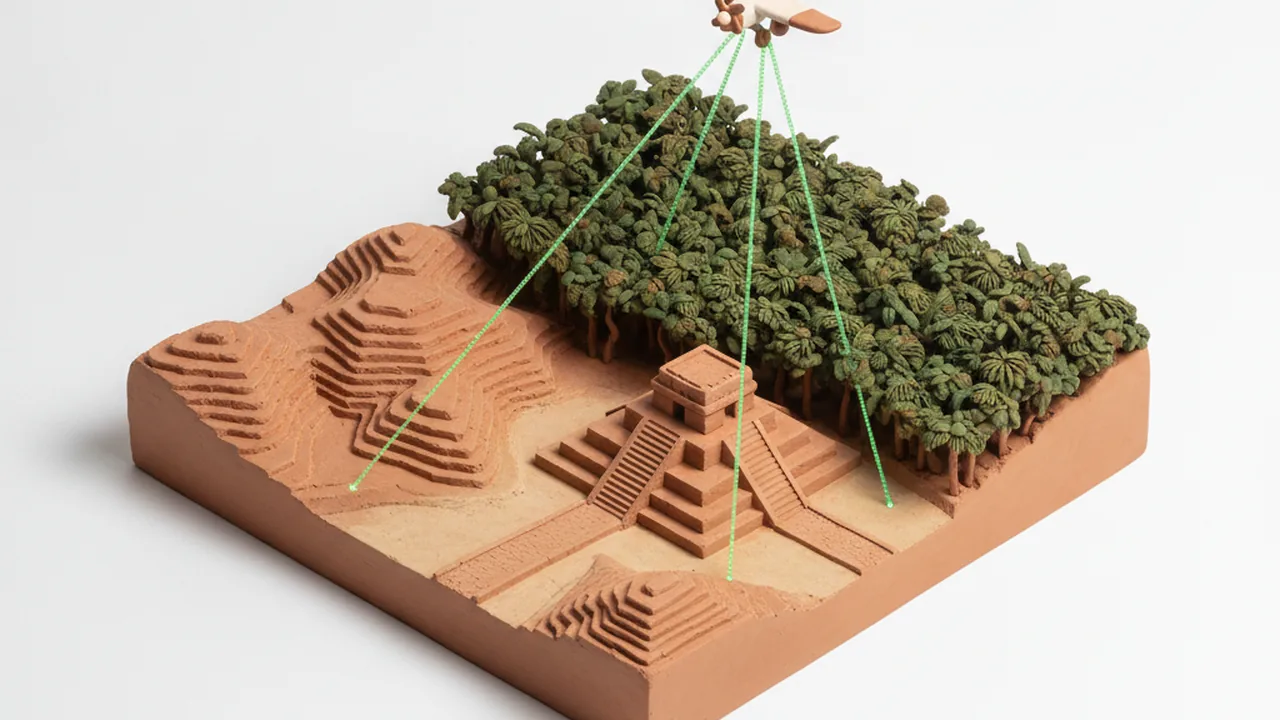
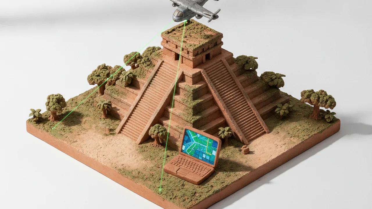
On 10 November 2026 AI researcher Pietro Miotti posted on X what looked like a new ancient Maya civic centre in Mexico. In a blog post he explained that he had set 48 AI agents to work through publicly available NASA lidar, airborne laser scans that see through forest to the ground. He says the project took less than 72 hours, from the idea on 18 October to a reply from Mexico's heritage agency INAH on 21 October.
The claim did not hold for long. As Scientific American reported on 19 November, archaeologist Sarah Parcak of the University of Alabama at Birmingham pointed out that the site was already in the literature. Tulane University professor Francisco Estrada-Belli and his colleagues had described it in a 2025 paper. Futurism quotes Parcak: the site "was already published", and the lack of an entry in the Mexican government's database did not mean nobody had mapped it.
The pipeline itself is the interesting part. Each agent read lidar strips turned into images, looked for platforms and plazas, searched the literature, and checked the point cloud to rule out vegetation. This kind of multi-step workflow is what companies offering ai agent development services now build for business data, and the Maya case shows where such workflows still break.
What did the AI agents actually find?
According to Miotti's write-up, the agents flagged a plaza, an oval pyramid between 8 and 12 metres tall, a raised courtyard, a possible water reservoir and three platforms around them. The structures are real. Miotti now calls the result a rediscovery: the site was in peer-reviewed literature but not yet in INAH's register.
He published no coordinates. The exact location went to INAH in a confidential annex. That matters. Lidar makes forest-covered ruins visible, and published coordinates can lead looters straight to unprotected mounds.
Why did archaeologists push back?
The criticism was about process, not about using AI. "This is why peer review exists," Parcak wrote. Estrada-Belli told Scientific American that people should do "background checks or due diligence" before claiming a discovery. Parcak also noted that "not everything is online": many site records sit in field reports, regional archives and Spanish-language publications that a quick web search misses.
- Speed: scanning large lidar areas quickly is where automation helps most.
- Novelty: deciding whether a site is new needs full literature and archive checks, often with the regional team that works there.
- Context: a mound on a map says nothing about dates, function or the people who built it. That still takes fieldwork.
What does this mean for lidar and AI in archaeology?
Lidar has already changed Maya archaeology. Projects led by Estrada-Belli, Ivan Šprajc and others have mapped thousands of structures under the forest canopy of the Maya lowlands, including the city now known as Minanbé, which we covered in our report on its ancient name, Sakil. Machine learning is already used to sort candidate features in such scans. What failed here was the step that checks a candidate against what the field already knows.
The Maya are not a vanished people. Millions of Maya speakers live in Mexico, Guatemala and Belize today, and heritage agencies such as INAH work with local communities to protect sites. A responsible pipeline sends finds to those agencies quietly, as Miotti did, rather than to social media with a map.
How to explore lidar yourself, responsibly
- Start with published maps. Read the papers and project reports for a region before you look for anything "new".
- Treat every candidate as a question. Check it against archives and ask the regional team before calling it a discovery.
- Never share coordinates of possible sites in public. Send them to the national heritage agency.