Augmented Reality at Archaeological Sites: A Field Guide
Hold up a phone at a ruined great house and the walls grow back, the roof returns and the solstice Sun traces its arc. Here is how that works, where it goes wrong, and what it should never show.
Key takeaways
- Augmented reality (AR) lays a 3D model over the real ruins through a phone, tablet or headset; virtual reality (VR) replaces the view entirely.
- Phone GPS is good to about 5 meters and the compass can be off by several degrees, so the best site apps also match the camera image to a known model.
- Chaco Canyon and Chichén Itzá already have rich 3D data, but neither park has an official on-site AR guide; sun-path AR apps fill part of the gap.
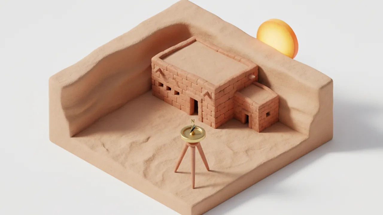
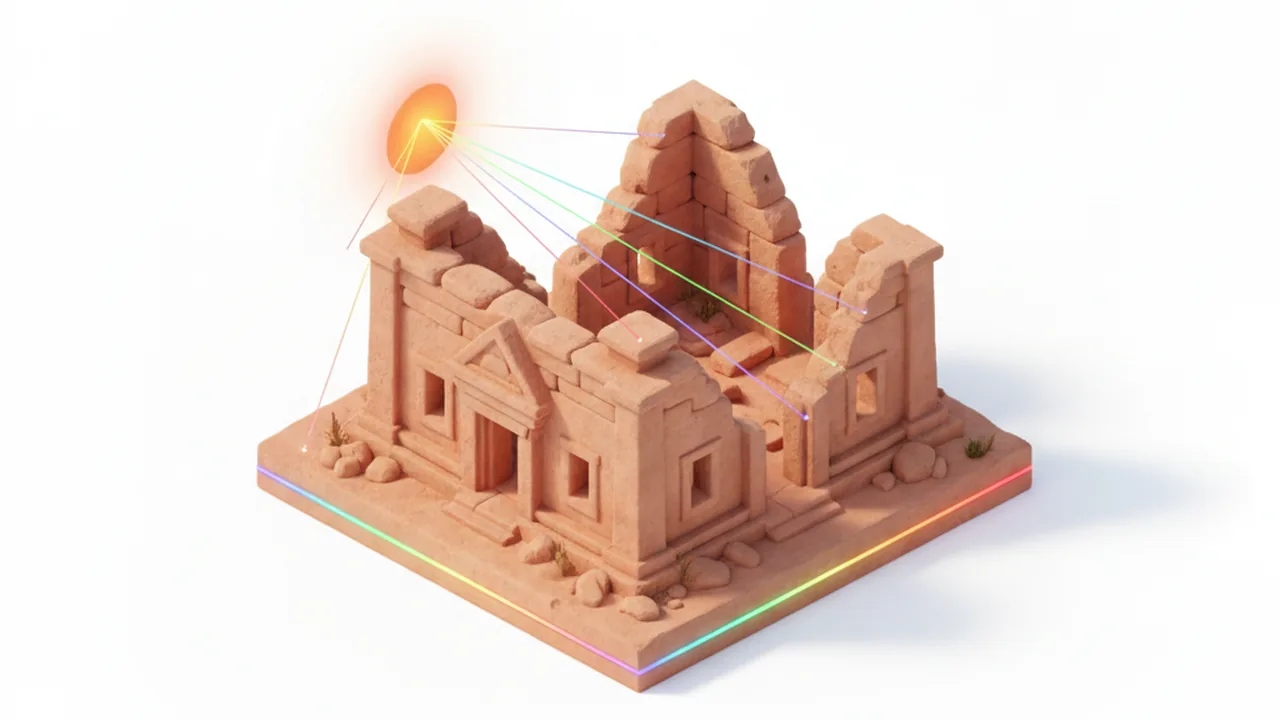
Augmented reality at an archaeological site means seeing a digital reconstruction placed on top of the real ruins, through a phone, tablet or headset that tracks where you stand and where you look. Done well, it shows how a great house or temple once looked, where artifacts lay, or where the Sun rose on the solstice, without touching a single stone.
Most of the work behind a good site guide is mobile engineering rather than archaeology: positioning, offline maps, battery life and readable screens in hard desert light. Museums and parks that want their own guide usually bring in a mobile app development partner for that layer. This article stays on the visitor's side of the screen: what the technology can show you, how accurate it is, and how to judge an overlay.
If you want the astronomy first, our guide to calculating sunrise azimuth explains the numbers that every sun-path overlay is built on.
What is the difference between AR, VR and 3D models at a site?
AR adds to the real view, VR replaces it, and a plain 3D model sits on a screen with no link to where you stand. All three often start from the same survey data, usually photogrammetry (3D models built from hundreds of overlapping photos) or laser scanning.
| Format | What you see | Where it works | Best use |
|---|---|---|---|
| Augmented reality | Real ruins plus rebuilt walls, roofs, objects or sun paths | On site, through a phone, tablet or headset | Understanding scale and layout while you walk |
| Virtual reality | A fully modeled scene; the real world is hidden | Anywhere, including museums and classrooms | Closed or fragile areas, interiors, the past at night |
| 3D model or 360° tour | A model or panorama on a flat screen | Any browser | Planning a visit, teaching, remote study |
The idea is older than smartphones. Archeoguide, published in 2002, used outdoor tracking and a wearable computer at ancient Olympia in Greece to rebuild ruined temples in the visitor's view. Today an ordinary phone handles the tracking that once needed dedicated wearable hardware.
How does an AR app know where the ruins are?
An AR app has to answer two questions many times a second: where is the device, and which way is it pointing? It combines several sensors to answer them, and each one brings its own error.
- Satellite positioning. According to GPS.gov, GPS-enabled smartphones are typically accurate to within about 4.9 meters under open sky. Canyon walls and dense forest canopy make that worse.
- Compass and motion sensors. The magnetometer gives heading and the gyroscope tracks rotation. Nearby metal, a car or a phone case can push the compass off by several degrees.
- Visual positioning. The camera recognizes features in the scene and matches them to a stored map or 3D model. Google's ARCore Geospatial API does this against Street View imagery, which works in towns but rarely in a remote canyon.
- Markers and anchors. A printed panel or a known landmark gives the app a fixed reference, the most reliable option where signal and imagery are thin.
The errors add up quickly. At a distance of 30 meters, a 3° heading error moves a rebuilt wall about 1.6 meters sideways, enough to make a reconstructed doorway float beside the real one.
| Source of drift | Typical size | What good apps do about it |
|---|---|---|
| GPS position | About 5 m in open sky, worse in canyons | Snap to a known viewpoint or a marker |
| Compass heading | Several degrees, more near metal | Lock heading to a visible landmark or the camera image |
| Bright sunlight | Washed-out screen, weak image tracking | High-contrast interface, fewer fine details |
| No mobile signal | Models and maps fail to load | Download everything before the visit |
Which AR and 3D projects already cover Chaco and the Maya?
Both regions have strong 3D work, but most of it lives in museums and browsers rather than in on-site AR guides.
Chaco Canyon and the San Juan Basin
The Chaco's Legacy exhibit, opened in June 2014 by Archaeology Southwest at Aztec Ruins National Monument and Salmon Ruins Museum, lets visitors move through eight great houses and villages on a touch screen. Its reconstructions were built in the Unity game engine from photogrammetry of museum collections and archaeological data, with guidance from Zuni cultural consultant Dan Simplicio.
More recently, the independent chaco3d.com project has published "then and now" comparisons of Pueblo Bonito and Chetro Ketl, sliding a reconstruction over today's ruins in the browser.
Chichén Itzá and the Yucatán
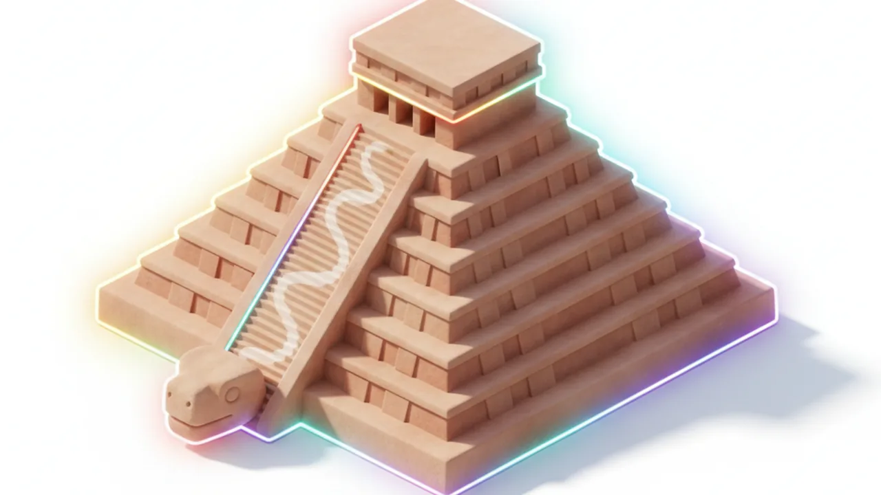
At Chichén Itzá, Mexico's National Institute of Anthropology and History (INAH) and UC San Diego's Cultural Heritage Engineering Initiative scanned El Castillo with photogrammetry, structured light and mobile lidar between 2023 and 2025. The roughly 491 GB dataset is open on OpenHeritage3D for non-commercial use and supports research on the earlier temple hidden inside the pyramid.
Our explainer on El Castillo's equinox serpent covers the light effect such models help study, and the recent glyph reading at Minanbé shows photogrammetry recovering worn inscriptions.
Elsewhere, commercial apps such as ARGO Augmented Archaeology place more than 100 life-size 3D models on site and adjust the view as you walk. As of November 2026 we found no equivalent official on-site AR guide for Chaco Culture National Historical Park or for Chichén Itzá.
Can AR show where the Sun rose over an ancient building?
Yes, and this is where AR is most useful for archaeoastronomy. Sun-path apps used by photographers, such as Sun Seeker and PhotoPills, draw the Sun's track for any date over the live camera view, so you can see roughly where the solstice Sun will clear a ridge or line up with a wall.
Treat that overlay as a preview, for three reasons:
- The horizon is usually flat in the app. At canyon sites a skyline 2° above level shifts the visible sunrise by about 2°, as our azimuth guide works out for Chaco.
- The heading comes from the compass. A few degrees of compass error is larger than the whole effect most alignment claims depend on.
- The sky is today's sky. Earth's tilt was slightly larger around 1000 CE, moving the June sunrise about 0.2° north at Chaco. Few apps model that.
For a site-specific view with the real horizon built in, open our Chaco viewer or the Yucatán viewer, pick a date and compare. For the question of whether a builder intended an alignment, see how archaeoastronomers test an ancient sun alignment.
What should an AR guide leave out?
An AR guide should leave out anything the descendant communities have not agreed to share. Chaco and the Maya region are not abandoned stage sets: Pueblo nations and Maya communities today hold their own knowledge about these places, and some of it is not meant for the public.
The Chaco's Legacy team designed its system so it could, in Archaeology Southwest's words, "help people achieve a partial understanding of the past while protecting esoteric aspects that are private and exclusive to indigenous people." That is a sound rule for any app. Good projects also:
- consult tribal and community representatives before modeling ceremonial spaces such as great kivas;
- label each reconstruction by evidence level: measured, inferred from similar buildings, or artistic;
- avoid inventing people, rituals or "lost civilization" storylines the evidence does not support;
- never route visitors toward closed areas. Fajada Butte at Chaco, for example, is closed to the public.
How do you get the most from AR on a site visit?
A little preparation makes the difference between a convincing overlay and a frustrating one:
- Download before you go. Chaco has little or no mobile signal, so load apps, 3D models and offline maps at home.
- Bring power. Camera, GPS and 3D rendering together drain a phone fast; carry a battery pack.
- Calibrate the compass away from vehicles and railings, then check it against a landmark you can identify on a map.
- Use the overlay at early or late light. Low sun means less screen glare, and it is the light the builders were watching anyway.
- Stay on marked trails and never climb walls for a better angle. Drones are not allowed in national parks without a permit.
- Look up from the screen. Use AR to understand the layout, then watch the real shadows and horizon.
Check current rules on the Chaco Culture National Historical Park website before you travel.
What makes a good AR guide for a museum or park?
A good site guide works offline, keeps the overlay locked to the ruins, and shows where its evidence comes from. For a park, museum or university team planning one, the checklist is short:
| Requirement | Why it matters on site |
|---|---|
| Offline-first design | Remote parks have weak or no signal |
| Visual anchoring, not GPS alone | Keeps rebuilt walls on the real foundations |
| Survey-grade source data | Photogrammetry or lidar, with credits and licenses respected |
| Evidence labels on every model | Separates measured walls from informed guesses |
| Community review of content | Protects knowledge that is not public |
| Accessible interface | Large text, audio description, high contrast in sunlight |
The harder part is usually the content: deciding, with the people whose ancestors built these places, what a visitor should see.
Frequently asked questions
What is augmented reality in archaeology?
It is a digital layer placed over the real site through a phone, tablet or headset: rebuilt walls, missing roofs, artifact models or the Sun's path, aligned with the ruins you are standing in front of.
How is AR different from VR at a historic site?
AR keeps the real ruins in view and adds to them. VR replaces your surroundings with a fully modeled scene, so it works anywhere, including a museum gallery or a classroom far from the site.
Why does an AR reconstruction drift away from the real walls?
Phone GPS is typically good to about 5 meters under open sky and the compass can be off by several degrees. Apps that also match camera images to a known model, or use printed markers, hold the overlay much better.
Is there an AR app for Chaco Canyon or Chichén Itzá?
There are strong 3D projects for both, including the Chaco's Legacy exhibit and the open El Castillo scan data, but no single official on-site AR guide covers either park. General sun-path AR apps work at both sites.
Can I use AR to check a solstice alignment?
As a preview, yes. As proof, no. Sun-path overlays usually assume a flat horizon and rely on the phone compass, so confirm any alignment with a published survey and a calculation that includes the real skyline.